Global · mountain hazard
Preventing floods in the world's mountains
Glacial lake outburst floods are one of the few natural disasters that are genuinely predictable and largely preventable. The lakes are visible from space, they grow for years before they fail, and the engineering to defuse them is well understood. What is missing is monitoring, maintenance and zoning.
Mechanism
How a mountain flood is built
Break any link in this chain and the disaster does not reach the village.
Trigger
Heatwave, extreme rain, avalanche, rockfall or ice collapse into a lake.
Dam failure
A moraine or ice dam overtops or is breached, releasing millions of m³ in minutes.
Surge
Water picks up sediment and boulders and becomes a debris flow moving 20–60 km/h.
Impact
Bridges, hydropower intakes, trails and riverside settlements 50–100 km downstream.
National playbook
What a country should do, in order
Each step assumes the ones before it exist. A country that can only afford one thing should buy early warning.
Step 1
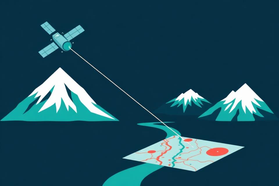
Map the danger first
- Build a national inventory of glacial lakes, landslide-prone slopes and floodplains using satellite imagery and field surveys.
- Publish open, down-to-the-village hazard maps so every district knows its risk.
- Rank sites by danger: lakes that are growing, dammed by loose moraine, or sitting above settlements go first.
Step 2
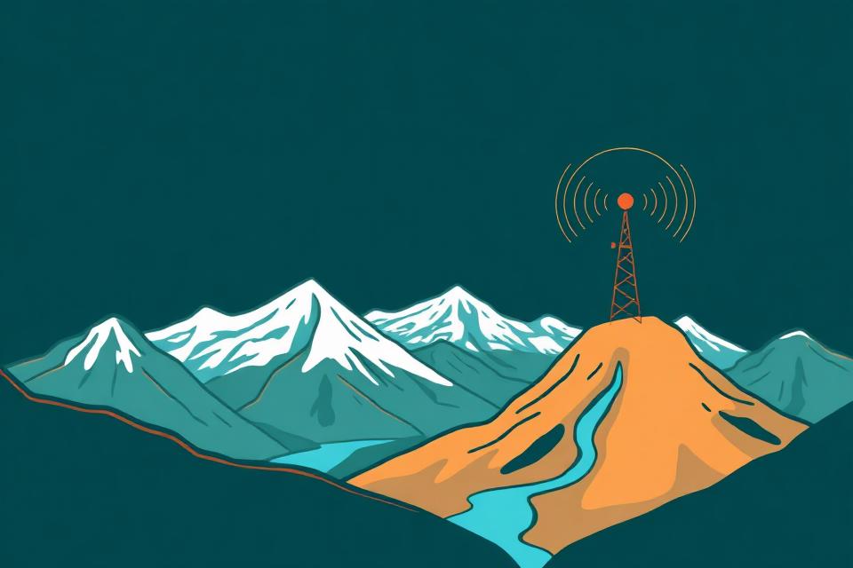
Install early warning before anything else
- Water-level sensors, geophones and weather stations on the highest-risk lakes and rivers — cheaper than any dam.
- Sirens, cell-broadcast alerts and community radio linked so a warning reaches a village in minutes, not hours.
- Warnings save lives even when nothing else is built yet — this is the fastest, highest-impact investment.
Step 3
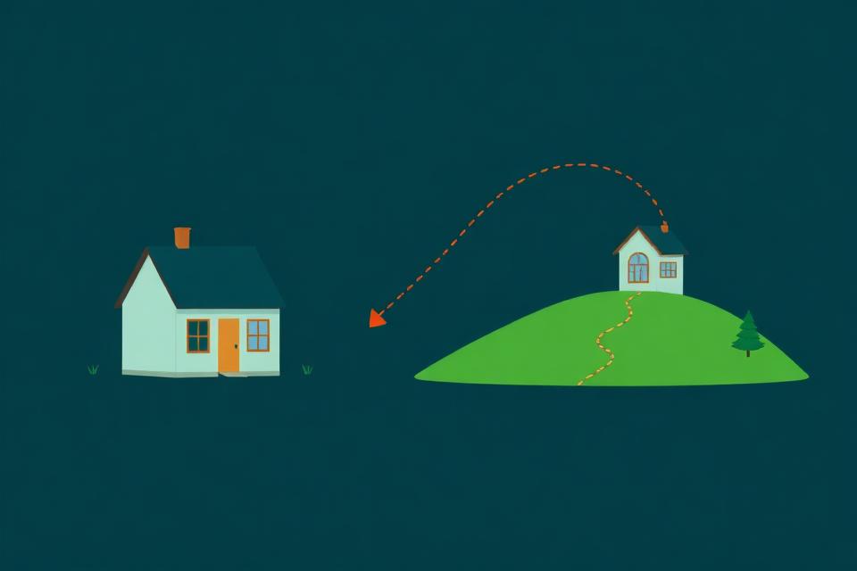
Stop building in harm's way
- Turn the hazard maps into law: no new homes, schools, hospitals or bridges inside flood paths.
- Relocate the most exposed existing settlements with fair compensation, not forced evictions.
- Enforcement matters more than the rule itself — unenforced zoning is decoration.
Step 4
Engineer down the biggest risks
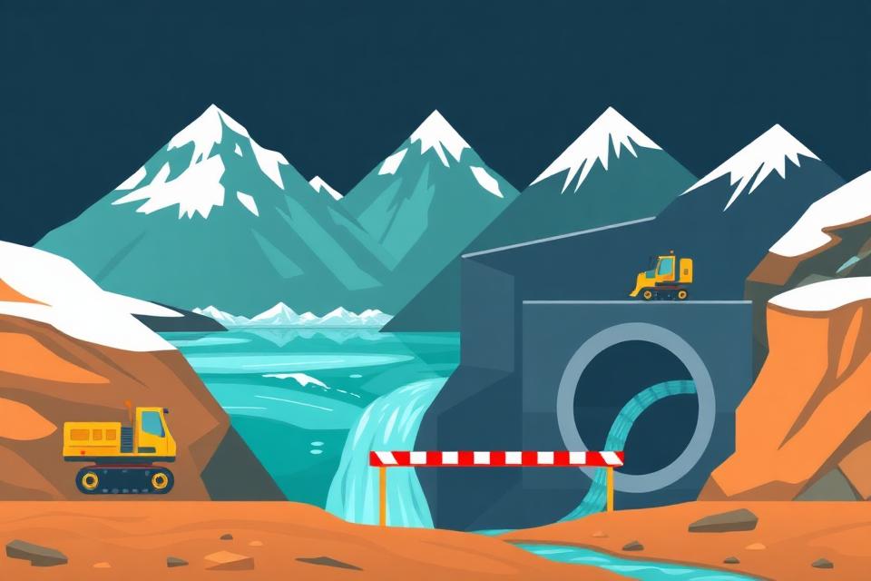
- Lower the most dangerous glacial lakes with siphons, tunnels or controlled outlet channels.
- Reinforce loose moraine dams and build debris basins that catch sediment before it reaches towns.
- Raise or relocate critical infrastructure — bridges, hydropower intakes, roads — above the modelled flood line.
Step 5
Prepare every community, repeatedly
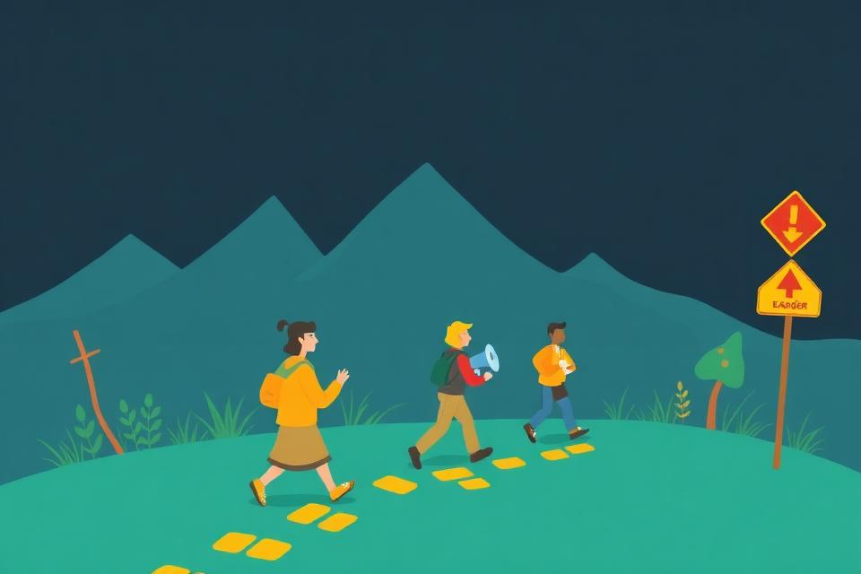
- Fund village disaster committees, marked evacuation routes and safe high-ground shelters.
- Run drills every year before monsoon season — a plan nobody has practiced is not a plan.
- Stock local caches: first aid, water purification, ropes, megaphones, satellite communicators.
Step 6
Respond fast, rebuild smarter
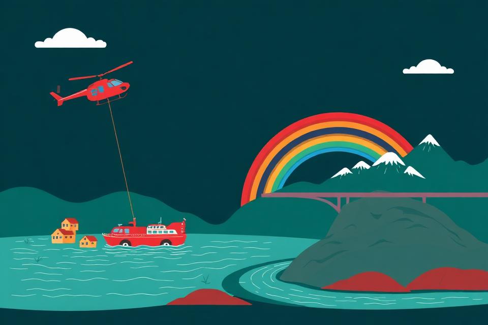
- Pre-position helicopters, rescue teams and emergency funds before disaster season, not after.
- Rebuild to the new hazard maps: bridges higher, roads rerouted, settlements moved — never rebuild in the same flood path.
- Feed every event back into Step 1: update the maps, retrain the sensors, redo the drills.
Toolkit
Measures that work, ranked by what they buy you
A real programme layers structural, technical and social measures — no single one is sufficient.
Lower the lake
Structural · High cost, high certainty
Reinforce or bypass the moraine
Structural
Automated early warning systems
Highest lives-saved per dollar
Satellite and radar monitoring
Detection
Hazard zoning and land use
Cheapest measure that exists
Sediment-tolerant infrastructure
Engineering
Community drills and evacuation routes
Social
Transboundary data sharing
Governance
Worldwide
Where the risk sits
Roughly 15 million people live in the potential flood path of a glacial lake, more than half of them in the Himalaya.
| Range | Countries | Situation |
|---|---|---|
| Himalaya & Hindu Kush | Nepal, Bhutan, Pakistan, India, Tibet | Thousands of new lakes since 1990; densest human exposure and heavy hydropower build-out in the flood path. |
| Andes | Peru, Bolivia, Chile | Cordillera Blanca pioneered lake-lowering after the 1941 Huaraz disaster — the world's longest-running GLOF programme. |
| Alps & Caucasus | Switzerland, Italy, Austria, Georgia | Permafrost thaw is destabilising rock walls; the 2023 Georgian Devdoraki-type events show rock-ice avalanches are the new driver. |
| Central Asia | Kyrgyzstan, Tajikistan, Kazakhstan | Hundreds of hazardous lakes with limited monitoring budgets and downstream irrigation dependence. |
| Alaska, Canada, Iceland | North Atlantic & Arctic | Jökulhlaups from ice-dammed and volcanic lakes; well instrumented, low population exposure — a good model for sensor design. |
| New Zealand & Patagonia | Southern Alps | Rapid glacier retreat with tourism exposure on valley trails and huts. |
Your part
Governments move slowly — people don't have to
The national playbook needs budgets and years. The action plan page shows what one person, a family or a neighbourhood can start this week.